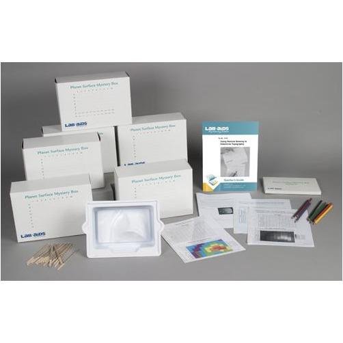
Lab-Aids: Using Remote Sensing to Determine Topography Expand-A-Kit
Inventory:
Regular price
$47.99
Regular price
Sale price
$47.99
/
- Secure payments


